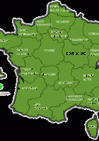
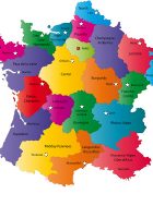
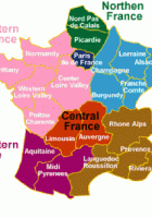
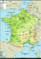
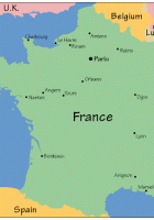
Map of France
Map of France: France map with regions and departments, France map with cities and towns, the road France map with driving directions, the satellite map of France, the weather forecast France map, all maps and data on every french town
Satellite Images of France:
France had a population of 65,821,885 inhabitants for a total area of 675,417 km².
– 63, 136, 180 live in metropolitan France
– 1,890,705 live in the overseas departments
– 795 000 live in communities overseas.
Metropolitan France has a population density of 115 inhabitants per square kilometer and 97 inhabitants / km ² counting the overseas.
Map of France:
– 62 793 432 in metropolitan France
– 1 873 942 in the overseas departments
– 780 000 in communities overseas
Recommend this page: If you would like to recommend this France Map page to a friend, or if you just want to send yourself a reminder, here is the easy way to do it. Simply fill in the e-mail address and name of the people you wish to tell about wpmap.org, your name and e-mail address (so they can reply to you with gracious thanks), and click the recommend button. The URL of this site will be included automatically. You may also enter an additional message that will be also included in the e-mail.

